
Large-Scale Land Division Done Right
Custom Surveying and Design in Jonesborough for property owners planning multi-field divisions on acreage tracts
RichCo Excavating handles custom surveying and design for large property divisions in Jonesborough, turning expansive tracts into functional field layouts. When you own a 1,500-acre lot and need it divided into workable 80-acre or 100-acre fields, the process requires more than boundary markers. You need road access planned, drainage patterns mapped, and field sizes configured for actual use.
This service involves surveying the entire property to establish accurate boundaries and topography, then creating a detailed design that divides the land into individual fields of specified acreage. The design phase includes mapping where internal roads will run to provide access to each field and planning drainage areas to manage water flow across the divided parcels. In regions with rolling terrain like Jonesborough, drainage planning prevents water from pooling in low-lying fields or eroding access routes during heavy rain.
Request an on-site assessment to review your property dimensions and discuss field layout options.
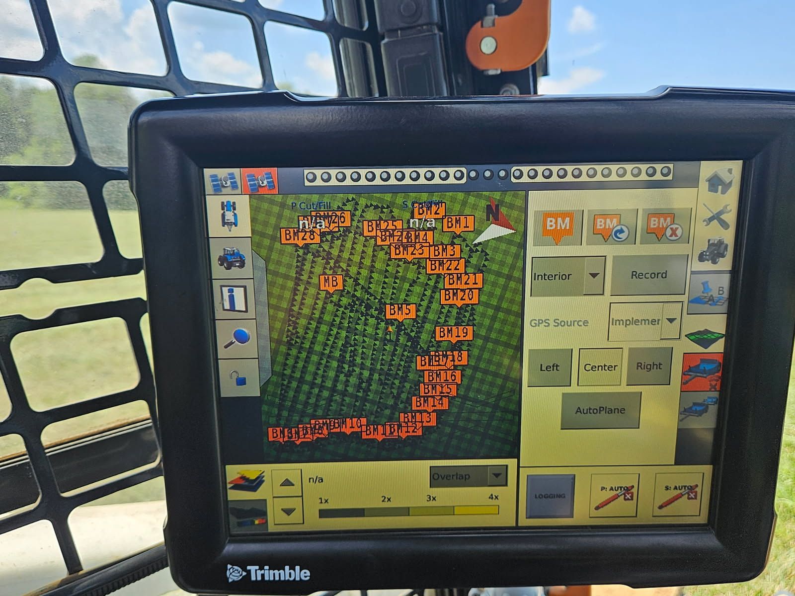
Surveying a 1,500-acre tract involves establishing control points across the property and using GPS equipment to map elevations, existing features, and legal boundaries. Once the survey data is collected, the design work begins: dividing the land into 80-acre or 100-acre fields based on your intended use, whether for farming, timber management, or future development. Road placement is mapped to balance access efficiency with minimal disruption to field area, and drainage zones are identified to direct runoff away from roads and prevent standing water in field interiors.
After the design is finalized, you receive a detailed map showing field boundaries, proposed road corridors, and drainage infrastructure locations. This map guides all future work on the property, from road construction to field preparation. The layout accounts for natural water flow patterns, so fields drain properly after storms and roads remain passable year-round without constant maintenance.
The design phase also identifies any areas where grading or culvert installation will be necessary before roads are built. Properties with significant elevation changes may require cut-and-fill work to create stable road grades, and low spots often need drainage channels or retention areas to prevent water backup.
Questions Property Owners Ask Before Planning Large Divisions
Dividing large tracts into multiple fields involves considerations beyond simple boundary lines. These answers address the most common questions about surveying and design for acreage divisions in Jonesborough.
What information is needed before surveying begins?
Existing deeds, any previous surveys, and a clear understanding of how you intend to use the fields help guide the design. If mineral rights or easements exist, those boundaries factor into the layout to avoid conflicts with future access or development.
How are field sizes determined during the division?
Fields are laid out in 80-acre or 100-acre sections based on your specifications, with boundaries adjusted slightly to follow natural ridges or drainage divides where practical. This approach minimizes grading work and keeps field shapes functional for equipment access.
Why does road placement matter in the design phase?
Roads mapped during design determine how equipment and vehicles reach each field. Poorly placed roads create steep grades, require excessive grading, or cross drainage paths that cause washouts. Planning road corridors during the survey phase avoids these issues before construction starts.
What does drainage planning involve on a divided property?
Drainage areas are mapped to show where water naturally flows across the land. The design identifies low points that need retention areas, ridgelines that can serve as field boundaries, and locations where culverts or channels will be necessary to move water under or around roads without erosion.
How long does the surveying and design process take for a 1,500-acre property?
Survey time depends on terrain complexity and vegetation density, with design work following once field data is complete. Properties with heavy tree cover or steep slopes require more time to survey accurately than open, gently rolling land.
RichCo Excavating provides the surveying and design documentation needed to move forward with land division projects. Schedule a consultation to discuss your property layout and review field configuration options for your acreage.